
We use cookies to enhance your browsing experience, serve personalized content, and analyze our traffic. By clicking "Accept All" you accept this and consent that we share this information with third parties and that your data may be processed in the USA. For more information, please read our .
You can adjust your preferences at any time. If you deny, we will use only the essential cookies and unfortunately, you will not receive any personalized content.
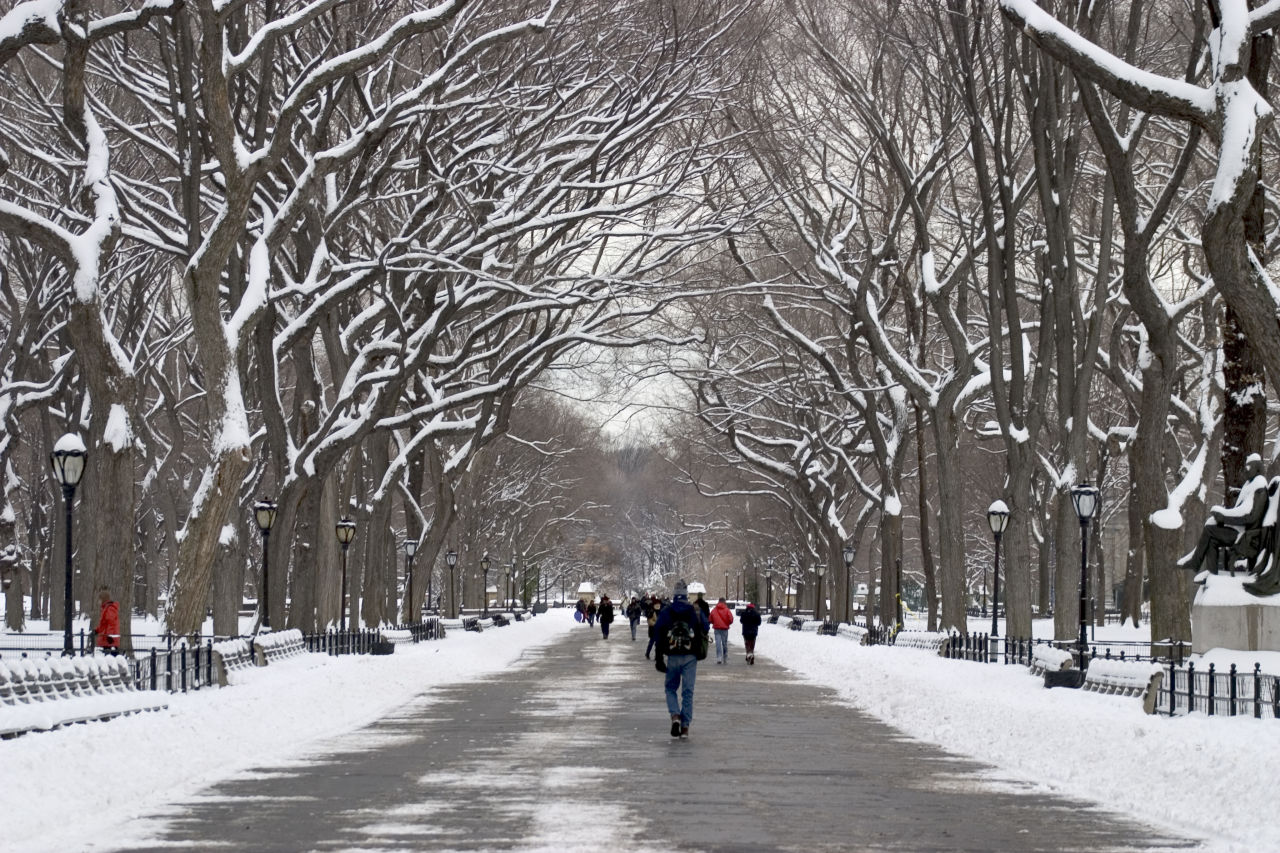
New York did not just have a cold weekend. It had a why-do-we-live-here weekend.
As an intense Arctic air mass settled over the Northeast, temperatures across New York State plunged, and powerful winds made it far worse. By Saturday night into Sunday morning, wind chills dropped into the -15°F to -30°F range in many areas, triggering extreme cold warnings across much of the state.
In simple terms: it felt colder in parts of New York than people imagine the North Pole feeling in winter. That comparison is about wind chill, not air temperature, but if you were outside for more than a few minutes, your face already understood the difference.A fast-moving winter system is sweeping across large parts of the Northeast, Mid-Atlantic, Great Lakes, and New England, bringing fresh snow, powerful winds, and another round of brutal Arctic cold. It is not a blockbuster blizzard everywhere, but it is the kind of storm that quietly ruins commutes, hardens existing snow piles into ice sculptures, and makes you question why February is allowed to exist at all.
Ahead of the weekend deep freeze, New York Governor Kathy Hochul issued a statewide warning, urging residents to prepare for what officials described as the coldest feels-like temperatures of the season.
Snow played a minor role. The real danger came from the wind.
According to the state, wind chills plunged to -20°F to -40°F in parts of the North Country, with -10°F to -30°F reported across much of the rest of New York, including Central New York, the Hudson Valley, Long Island, and New York City. Gusts up to 40-60 mph made already bitter air feel even colder, increasing the risk of frostbite and hypothermia within minutes.
By Saturday afternoon, wind chills were already below zero statewide. Overnight, they dropped sharply, and Sunday morning became the most brutal stretch, with large portions of the state waking up to wind chills in the minus 20s and minus 30s. State agencies activated emergency operations, warming centers, and travel advisories as the cold settled in, underscoring just how severe this Arctic blast became.
Officials emphasized that this was not just uncomfortable weather.
In extreme wind chills:
Frostbite can develop on exposed skin in as little as 30 minutes
Hypothermia risk increases rapidly
Older adults, young children, unhoused individuals, and outdoor workers face heightened danger
Residents were advised to:
Limit time outdoors
Cover all exposed skin
Check on neighbors
Bring pets inside
Keep emergency supplies in vehicles if travel was unavoidable
Air temperature tells you what the thermometer says. Wind chill tells you what your skin feels.
When strong winds strip heat away from your body faster than it can replace it, your risk of frostbite and hypothermia rises quickly. In conditions like this weekend’s, exposed skin can become dangerously cold in a short amount of time.
That is why forecasters and emergency agencies focus on wind chill during Arctic outbreaks. It's the number that determines whether “cold” becomes “medically dangerous.”
Central New York sat squarely in the bullseye of the coldest air.
Communities across the region were under extreme cold warnings, with wind chills widely forecast between -20°F and -30°F. Local officials urged residents to stay indoors, limit travel, and cover all exposed skin if they had to be outside.
Syracuse, in particular, stood out. The city recorded one of its coldest early February stretches in decades, with temperatures so low they challenged records that have stood for more than 70 years.
Here is the honest answer.
Measured air temperatures at the geographic North Pole in February are often well below zero. But wind chill is about human experience, not just numbers.
This weekend, parts of New York experienced wind chills that fell into ranges commonly associated with the high Arctic. And because wind chill measures how fast heat is pulled from your skin, it can feel harsher than places that are technically colder but calmer.
So no, New York did not replace the Arctic. But yes, for people standing outside this weekend, it felt brutally polar.
There is good news.
Forecasters expect this deep freeze to ease gradually after the weekend, with winds calming first and temperatures slowly moderating through the coming week. While winter is not done with New York yet, this may be the harshest cold snap of the season. Which is something everyone across the state can collectively agree is enough.
Was New York actually colder than the North Pole?
In terms of wind chill, parts of New York reached levels that can feel comparable to extreme Arctic conditions. Wind chill measures human impact, not raw air temperature.
What were the coldest “feels-like” temperatures?
Wind chills across New York ranged from about -15°F to -30°F during the worst stretch of the weekend.
Why is wind chill more dangerous than air temperature alone?
Wind strips heat from the body faster, increasing the risk of frostbite and hypothermia even when the air temperature itself is higher.
How long does frostbite take to develop in these conditions?
In extreme wind chills, frostbite can occur on exposed skin in as little as 30 minutes.
Is this the coldest winter New York has seen?
Not historically, but it is one of the most intense Arctic blasts in recent years and the coldest stretch of this winter so far.